
CORRELAÇÃO CRONOESTRATIGRÁFICA DOS DEPÓSITOS QUATERNÁRIOS DO PLANALTO SEDIMENTAR DO ARARIPE: UM ESTUDO DE CASO A PARTIR DOS MATERIAIS ENCONTRADOS NO MUNICÍPIO DE CRATO E BARBALHA – SUL DO CEARÁ
DOI :
https://doi.org/10.51359/2238-6211.2018.238214Résumé
No intuito de compreender a evolução do Planalto Sedimentar do Araripe, Lima (2015) mapeou as áreas de sedimentos quaternários, e aplicou a abordagem morfoestratigráfica associada à datação por Luminescência Opticamente Estimulada (LOE). Com esses dados buscou-se estabelecer uma correlação cronoestratigráfica dos depósitos quaternários, a partir dos materiais encontrados no município de Crato e Barbalha, sul do Ceará. Para isso foram coletadas amostras para granulometria e obtenção das idades pelo método LOE. As informações resultantes permitem concluir que o padrão de sedimentação é, atualmente, o principal fator condicionante da produção de sedimento da área. O preenchimento dos setores côncavos das encostas ao longo do Pleistoceno Superior/início do Holoceno, por meio das perturbações climáticas incididas no equilíbrio geomórfico das superfícies, resultou em superfícies deposicionais cuja morfologia atual é de encosta com certa convexidade e colinas alongadas, caracterizando feições.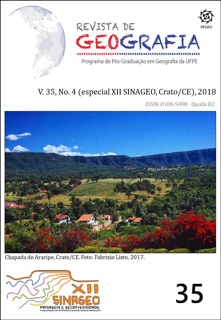
Téléchargements
Publié-e
Comment citer
Numéro
Rubrique
Licence
© Flávia Jorge de Lima, Antônio Carlos de Barros Corrêa 2021

Cette œuvre est sous licence Creative Commons Attribution 4.0 International.
Autores que publicam nesta revista concordam com os seguintes termos:
a) Autores mantêm os direitos autorais e concedem à REVISTA DE GEOGRAFIA da Universidade Federal de Pernambuco o direito de primeira publicação, com o trabalho simultaneamente licenciado sob a Licença Creative Commons Atribuição 4.0 Internacional. CC BY -  . Esta licença permite que os reutilizadores distribuam, remixem, adaptem e criem a partir do material em qualquer meio ou formato, desde que a atribuição seja dada ao criador. A licença permite o uso comercial.
b) Autores têm autorização para assumir contratos adicionais separadamente, para distribuição não-exclusiva da versão do trabalho publicada nesta revista (ex.: publicar em repositório institucional ou como capítulo de livro), com reconhecimento de autoria e publicação inicial nesta revista.
c) Autores têm permissão e são estimulados a publicar e distribuir seu trabalho online (ex.: em repositórios institucionais ou na sua página pessoal) a qualquer ponto antes ou durante o processo editorial, já que isso pode gerar alterações produtivas, bem como aumentar o impacto e a citação do trabalho publicado.
d) Os conteúdos da REVISTA DE GEOGRAFIA estão licenciados com uma Licença Creative Commons Atribuição 4.0 Internacional. CC BY - . Esta licença permite que os reutilizadores distribuam, remixem, adaptem e criem a partir do material em qualquer meio ou formato, desde que a atribuição seja dada ao criador. A licença permite o uso comercial.
No caso de material com direitos autorais a ser reproduzido no manuscrito, a atribuição integral deve ser informada no texto; um documento comprobatório de autorização deve ser enviado para a Comissão Editorial como documento suplementar. É da responsabilidade dos autores, não da REVISTA DE GEOGRAFIA ou dos editores ou revisores, informar, no artigo, a autoria de textos, dados, figuras, imagens e/ou mapas publicados anteriormente em outro lugar.
