
PREVISÃO DE ESCORREGAMENTOS RASOS A PARTIR DO MODELO SHALSTAB NA BORDA ORIENTAL DA CHAPADA DO ARARIPE
DOI:
https://doi.org/10.51359/2238-6211.2018.238220Abstract
O uso de modelos matemáticos na geomorfologia auxilia na previsão de processos de dinâmica superficial e na tomada de decisões. Um dos métodos utilizados para a previsão de escorregamentos translacionais são os modelos matemáticos em bases físicas, que descrevem fisicamente os processos por meio de equações matemáticas. Dessa forma, o objetivo deste artigo foi avaliar a suscetibilidade a escorregamentos translacionais na borda oriental da Chapada do Araripe, por meio do modelo matemático SHALSTAB (Shallow Landslide Stability). Foi gerado um cenário utilizando parâmetros topográficos e geotécnicos obtidos na literatura. Os resultados demonstraram que houve uma concordância com as áreas mais suscetíveis, apontadas pelo modelo, e as áreas mais declivosas da Chapada, onde em campo também foram verificadas cicatrizes atuais e pretéritas. A metodologia utilizada se mostrou eficaz na identificação dos padrões dos escorregamentos na área selecionada.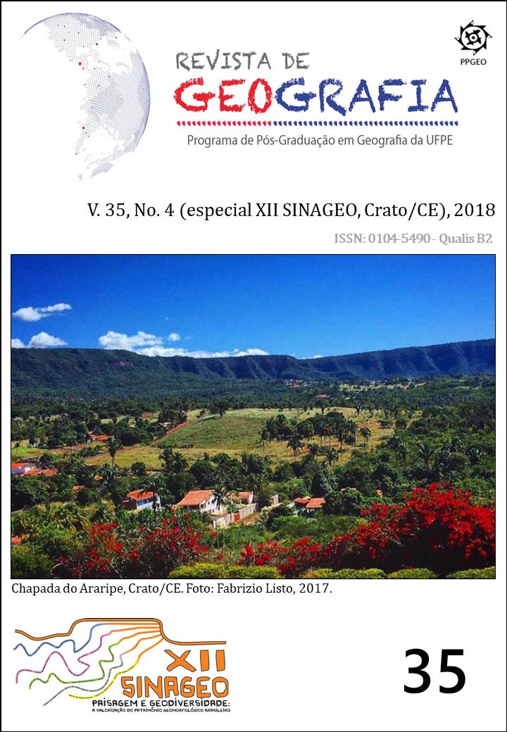
Downloads
Veröffentlicht
Zitationsvorschlag
Ausgabe
Rubrik
Lizenz
Copyright (c) 2021 Carlos de Oliveira Bispo, Fabrizio de Luiz Rosito Listo, Danielle Gomes da Silva

Dieses Werk steht unter der Lizenz Creative Commons Namensnennung 4.0 International.
Autores que publicam nesta revista concordam com os seguintes termos:
a) Autores mantêm os direitos autorais e concedem à REVISTA DE GEOGRAFIA da Universidade Federal de Pernambuco o direito de primeira publicação, com o trabalho simultaneamente licenciado sob a Licença Creative Commons Atribuição 4.0 Internacional. CC BY -  . Esta licença permite que os reutilizadores distribuam, remixem, adaptem e criem a partir do material em qualquer meio ou formato, desde que a atribuição seja dada ao criador. A licença permite o uso comercial.
b) Autores têm autorização para assumir contratos adicionais separadamente, para distribuição não-exclusiva da versão do trabalho publicada nesta revista (ex.: publicar em repositório institucional ou como capítulo de livro), com reconhecimento de autoria e publicação inicial nesta revista.
c) Autores têm permissão e são estimulados a publicar e distribuir seu trabalho online (ex.: em repositórios institucionais ou na sua página pessoal) a qualquer ponto antes ou durante o processo editorial, já que isso pode gerar alterações produtivas, bem como aumentar o impacto e a citação do trabalho publicado.
d) Os conteúdos da REVISTA DE GEOGRAFIA estão licenciados com uma Licença Creative Commons Atribuição 4.0 Internacional. CC BY - . Esta licença permite que os reutilizadores distribuam, remixem, adaptem e criem a partir do material em qualquer meio ou formato, desde que a atribuição seja dada ao criador. A licença permite o uso comercial.
No caso de material com direitos autorais a ser reproduzido no manuscrito, a atribuição integral deve ser informada no texto; um documento comprobatório de autorização deve ser enviado para a Comissão Editorial como documento suplementar. É da responsabilidade dos autores, não da REVISTA DE GEOGRAFIA ou dos editores ou revisores, informar, no artigo, a autoria de textos, dados, figuras, imagens e/ou mapas publicados anteriormente em outro lugar.
