
Landscape of burnings and fires in the APA of Chapada do Araripe: factors, transformations, and socioenvironmental impacts
DOI:
https://doi.org/10.51359/2238-6211.2024.262260Keywords:
protected area, APA, fire, NBR, fieldworkAbstract
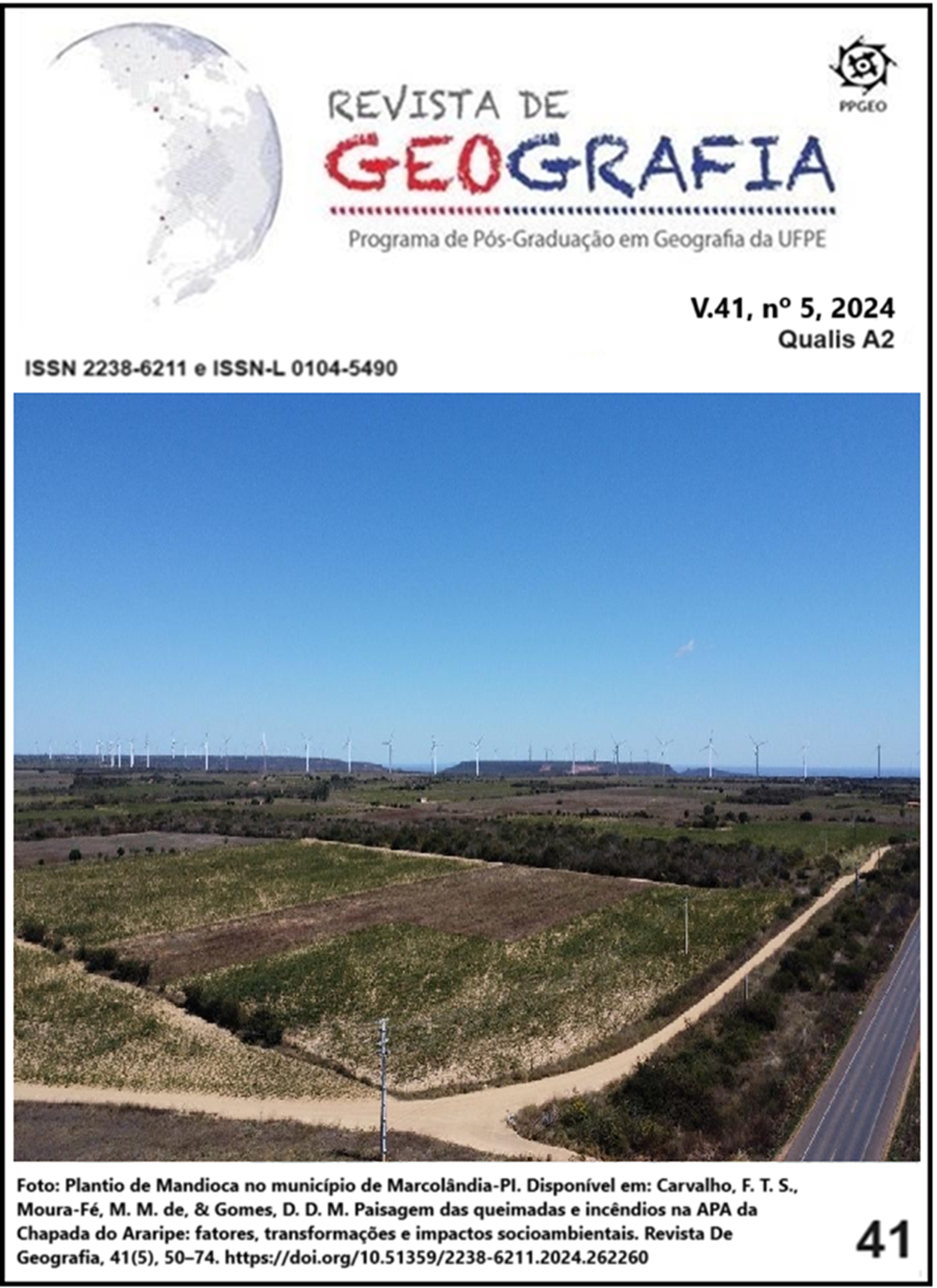
The occurrence of wildfires and fires in Conservation Units (UCs) poses a historical and current issue that directly affects the dynamics of the natural resources being sought to protect in these territories, especially when dealing with extensive areas, such as the Environmental Protection Area (APA) of Chapada do Araripe, a sustainable use UC that presents significant abundance of natural and cultural elements on a regional scale. Thus, this work aimed to identify the main historical and current factors for the occurrence of wildfires/fires in the APA of Chapada do Araripe, the landscape transformations, and their socio-environmental impacts. For this purpose, documentary, cartographic, and field surveys were conducted to understand the location characteristics of the landscapes of the APA of Chapada do Araripe that were burned or scorched in the years 2000, 2005, 2011, 2015, and 2020. Generally, wildfires and fires did not show a pattern in occurrence locations; however, landscapes with a significant index of wildfires/fires were those composed of savanna vegetation cover (caatinga), with agricultural practices and pasture being incisively associated with these areas, where it is hypothesized that the wildfires/fires identified in the mapping correlate with vegetation suppression for land management in the renewal and implementation of areas destined for agriculture. Therefore, it is essential to expand debates and practices aimed at mitigating the occurrence of wildfires and fires in the APA of Chapada do Araripe, aiming to minimize their impacts and ensuring environmental preservation and conservation in this territory.
References
BENTEMULLER, Lucas Adrian de Almeida; GOMES, Ana Carla Alves Gomes Alves. A importância do geoprocessamento para análise do uso e ocupação da Área de Proteção Ambiental (APA) de Sabiaguaba em Fortaleza-Ce. Cadernos de Ensino, Ciências & Tecnologia, v. 1, n. 3, p. 150-167, 2019.
BRASIL. Decreto s/n de 04 de agosto de 1997. Dispõe sobre a criação da Área de Proteção Ambiental da Chapada do Araripe, nos Estados do Ceará, Pernambuco e Piauí. Brasília, 4 de agosto de 1997. Disponível em: http://www.planalto.gov.br/ccivil_03/dnn/anterior%20a%202000/1997/dnn5587.htm#:~:text=DNN%205587&text=DECRETO%20DE%204%20DE%20AGOSTO,e%20d%C3%A1%20outras%20provid%C3%AAncias. Acesso em: 20 set. 2022.
BRASIL. Ministério do Meio Ambiente (MMA). Cadastro nacional de Unidades de Conservação. 2022. Disponível em: https://www.gov.br/mma/pt-br/assuntos/areasprotegidasecoturismo/plataforma-cnuc-1. Acesso em: 22 set. 2022.
BRITO, Daguinete Maria Chaves. Conflitos em unidades de conservação. PRACS: Revista Eletrônica de Humanidades do Curso de Ciências Sociais da UNIFAP, v. 1, n. 1, 2008.
CARVALHO, Francisco Antônio Gonçalves de et al. Rota do fogo: o marketing da baixa cobertura midiática frente a grande quantidade de focos de incêndios no semiárido piauiense. Research, Society and Development, v. 11, n. 12, 2022.
CARVALHO, Francisco Tiago Setuval. Análise da paisagem em áreas de queimadas e incêndios na APA da Chapada do Araripe (2000 a 2020): subsídios para o plano de manejo e gestão da Unidade de Conservação. Orientador: Dr. Marcelo Martins de Moura-Fé. 2023. 103f. Dissertação (Mestrado em Geografia - Ceres) - Centro de Ensino Superior do Seridó, Universidade Federal do Rio Grande do Norte, Natal, 2023.
CRUZ, Joiza Maria. Qualidade ambiental em áreas agrícolas da caatinga potiguar usando entomofauna edáfica. Dissertação. UFERSA, Mossoró, 2014.
DINIZ, Evandro; ALMEIDA, Bruna. Queimadas no Meio Ambiente. LABORO. 2020.
FERRAZ NETO, S.; VIEIRA, R. M. da S. P.; ALVALÁ, R. C. dos S.; CUNHA, A. P. M. do; CANAVESI, V.; SESTINI, M. F. Análise da dinâmica dos focos de calor em áreas degradadas de caatinga. 2011. Disponível em: http://mtc-m16d.sid.inpe.br/col/sid.inpe.br/mtc-m19/2012/01.03.15.45/doc/ferraz_analise.pdf. Acesso em: 05 de ago. 2022.
FONSECA, Mônica; LAMAS, Ivana; KASECKER, Thais. O papel das unidades de conservação. Scientific American Brasil, v. 39, p. 18-23, 2010.
GOUVEIA, José Rafael Ferreira et al. Caracterização de Cicatrizes de Queimadas nas Mesorregiões do Sertão e São Francisco Pernambucano a partir de dados do Sensor MODIS. Revista Brasileira de Geografia Física, v. 14, n. 02, p. 881-996, 2021.
IBGE - Instituto Brasileiro de Geografia e Estatística. Bases cartográficas contínuas. Disponível em: https://www.ibge.gov.br/geociencias/cartas-e-mapas/bases-cartograficas-continuas.html. Acesso em: 10 mai. 2023.
ICMBIO - Instituto Chico Mendes de Conservação da Biodiversidade. APA da Chapada do Araripe. 2018. Disponível em: https://www.gov.br/icmbio/pt-br/assuntos/biodiversidade/unidade-de-conservacao/unidades-de-biomas/caatinga/lista-de-ucs/apa-da-chapada-do-araripe
KEY, Carl H.; BENSON, Nathan C. Landscape assessment (LA). In: FIREMON: Fire effects monitoring and inventory system, v. 164, p. LA-1-55, 2006.
MAPBIOMAS. Coleções MapBiomas. [s. l.], 2020. Disponível em: https://mapbiomas.org/colecoes-mapbiomas-1?cama_set_language=pt-BR. Acesso em 25 jul. 2023.
MELO, Danielly Fernandes de et al. Análise espaço-temporal de focos de queimadas no Município de Santa Helena de Goiás. Pesquisa, Sociedade e Desenvolvimento, v. 9, n. 7, pág. e858974068-e858974068, 2020.
MENDOZA, Elsa Reneé Huamán. Susceptibilidade da floresta primária ao fogo em 1998 e 1999: estudo de caso no Acre, Amazônia Sul - Ocidental, Brasil. Dissertação. Programa de Ecologia e Manejo de Recursos Naturais, Universidade Federal do Acre, 2003.
NUNES, José Renato Soares; SOARES, Ronaldo Viana; BATISTA, Antônio Carlos. Estimativa da umidade relativa das 13: 00 h, com base nos dados das 9: 00 h e das 15: 00 h, para o Estado do Paraná. Floresta, v. 35, n. 2, 2005.
OLIVEIRA, João Evangelista Santos. Por que a Caatinga vive explosão em número de queimadas. BBC News Brasil. 2021. Disponível em: https://www.bbc.com/portuguese/brasil-58065453. Acesso em: 02 de ago. 2023.
OLIVEIRA, João Pedro de Menezes; SHITSUKA, Ricardo; SHITSUKA, Dorlivete Moreira. Queimadas e Incêndios: Um Estudo por meio de Cartoons da Web. Research, Society and Development, v. 8, n. 11, p. 338111479, 2019.
PONTES, Yago. ICMBio denúncia falta de servidores para fiscalização da Área de Proteção da Chapada do Araripe. Blog do Farias Junior. Ceará, 23 set. 2022. Disponível em: https://www.blogdofariasjunior.com/2022/09/icmbio-denuncia-falta-de-servidores.html. Acesso em: 09 jan. 2023.
PROJETO ARARIPE. Proteção Ambiental e Desenvolvimento Sustentável da APA Chapada do Araripe e da Bio-região do Araripe. FUNDETEC-Fundação de Desenvolvimento Tecnológico do Cariri, URCA- Universidade Regional do Cariri, MMA - Ministério do Meio Ambiente. Crato, 1998.
SILVA, Sebastião Alves da; CABRAL, João Batista Pereira; SCOPEL, Iraci. Incêndios em vegetação entre 2000 e 2002, nas propriedades rurais limítrofes às rodovias pavimentadas do município de Jatai-GO. Geoambiente, Jatai-GO, n.2, 2004.
SILVA, João Victor Mariano da. Análise ambiental das nascentes da cidade de Crato -Ceará: subsídios para o desenvolvimento regional sustentável. Dissertação (mestrado). Universidade Federal do Cariri, Mestrado em Desenvolvimento Regional Sustentável (PRODER), Crato-CE, 2022a, 96 f. Disponível em: http://sites.ufca.edu.br/proder/wp-content/uploads/sites/19/2022/10/2022-0622_Silva_2022_Dissertao-Proder_Anl._Amb._Nascentes_Crato_sem_epigr-1-1.pdf. Acesso em 26 ago. 2023.
SOUSA, B. I. et al., Actividade de campo, paisagem e interdisciplinaridade, na Chapada do Araripe, semiárido brasileiro. In: JACINTO, R. (Org.) As novas Geografias dos países de língua portuguesa: cooperação e desenvolvimento Lisboa: Ancora Editora, v. 38, p. 51 – 75, 2020.
SOUZA, Sócrates Alves Honorio de. Espacialização de Área Queimada no Cariri Cearense. Dissertação. Universidade Estadual do Ceará, Centro de Ciências e Tecnologias, Fortaleza, 2022.
SOUTO, Claudilene Aparecida; FREITAS, Ana Carolina Vasques; MARTINS, Guilherme. Influência das Condições Meteorológicas Atuais e Futuras na Ocorrência de Queimadas e Incêndios Florestais no Estado de Minas Gerais. Revista Brasileira de Geografia Física, v. 14, n. 5, 2021, p. 2755-2770.
UBISSE, Agnaldo Viriato Nhumbate. Avaliação do impacto da frequência de queimadas na diversidade de pequenos mamíferos no Parque Nacional do Kruger, África do Sul. 2015. Tese. Universidade Eduardo Mondlane.
USGS. United States Geological Survey. Missões Landsat: Produtos científicos de nível 2 da coleção Landsat 2. 2020. Disponível em: https://www.usgs.gov/landsat-missions/landsat-collection-2-level-2-science-products. Acesso em: 26 de abr. 2023.
VIEIRA, Greicielle dos Santos. Análise espaço-temporal do fogo no bioma Caatinga. TCC. Brasília, DF: UnB, 2021.
Downloads
Published
How to Cite
Issue
Section
License
Copyright (c) 2024 Francisco Tiago Setuval Carvalho, Marcelo Martins de Moura-Fé, Daniel Dantas Moreira Gomes

This work is licensed under a Creative Commons Attribution 4.0 International License.
Authors who publish in this journal agree to the following terms:
a) Authors retain copyright and grant the REVISTA DE GEOGRAFIA of the Federal University of Pernambuco the right of first publication, with the work simultaneously licensed under the Creative Commons Attribution 4.0 International License (CC BY). This license allows reusers to distribute, remix, adapt, and build upon the material in any medium or format, provided that attribution is given to the creator. The license permits commercial use.
b) Authors are authorized to enter into separate, additional contractual arrangements for the non-exclusive distribution of the version of the work published in this journal (e.g., posting it to an institutional repository or publishing it as a book chapter), with an acknowledgement of its initial publication in this journal.
c) Authors are permitted and encouraged to post and distribute their work online (e.g., in institutional repositories or on their personal website) at any point before or during the editorial process, as this can lead to productive exchanges, as well as increase the impact and citation of the published work.
d) The contents of the GEOGRAPHY JOURNAL are licensed under a Creative Commons Attribution 4.0 International License. CC BY - . This license allows reusers to distribute, remix, adapt, and build upon the material in any medium or format, provided that attribution is given to the creator. The license permits commercial use.
In the case of copyrighted material to be reproduced in the manuscript, full attribution must be provided in the text; a supporting document of authorization must be sent to the Editorial Committee as a supplementary document. It is the responsibility of the authors, not the GEOGRAPHY JOURNAL or the editors or reviewers, to indicate, in the article, the authorship of texts, data, figures, images and/or maps previously published elsewhere.
